About
Introduction
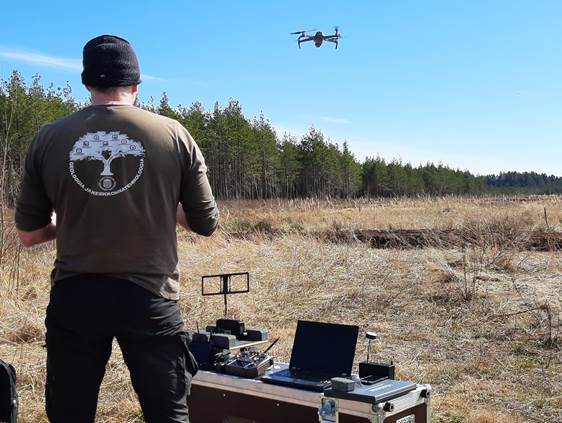
The goal of the course is to provide an overview of the use of unmanned vehicles in earth sciences. The most common platforms and sensors used for earth science research will be introduced. The course also includes an explanation of legislative restrictions regarding the use of unmanned vehicles, planning of research, and introduction to software and methodology used for primary data analysis. Upon completion of the course, the participant will be able to independently plan the use of unmanned vehicles to solve various problems in the earth sciences.
Description of the course
The participant of the continuing education program will be familiar with unmanned aerial vehicles and the regulations that govern their use. The most common sensors such as different cameras, lidar, and geophysical measuring instruments will be introduced. The course covers the practical use of unmanned aerial vehicles in natural sciences and related fields. The entire workflow from flight planning to primary data analysis will be introduced. The participant will be able to plan the use of drones and related sensors in different fields and for various tasks.
Learning outcomes
Upon successfully completing the course, the participant will know and be able to do the following:
- Identify types and principles of unmanned aerial vehicles or drones
- Understand the most common sensors used in drones
- Have an overview of legislation and regulations governing the field
- Plan research missions using drones
- Understand how to manage and perform primary analysis of data collected by drones
If you want to receive a diploma or certificate for completing the course, you must take an official supplementary course/subject at the University of Tartu. To register for the appropriate course, University students should register for the subject LTOM.03.034 Use of unmanned aerial vehicles in earth sciences (3 ECTS). Go to the registration page: https://ois2.ut.ee/#/courses. External participants should register for the continuing education course LTOM.TK.013 Use of unmanned aerial vehicles in earth sciences (3 ECTS): https://ois2.ut.ee/#/trainings. – this info needs updating


